Trail Guide · Ouachita National Forest
Eagle Rock Loop Trail Guide
A no-fluff guide to backpacking Arkansas's toughest loop — distance, elevation, river crossings, camping, and what to know before you go.
Distance
26.6–29.1 mi
Elevation Gain
~5,300 ft
River Crossings
6+ unbridged
Suggested
3 days / 2 nights
The Loop
Arkansas's most respected backpacking loop
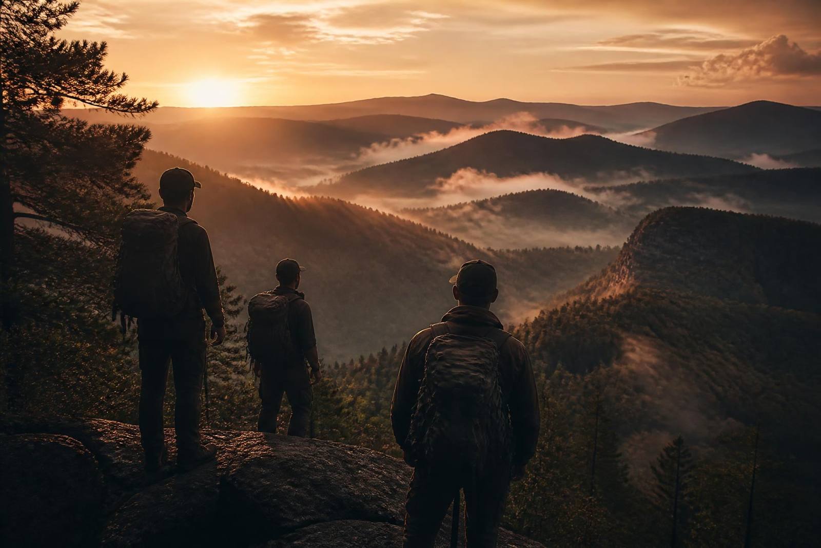
The Eagle Rock Loop is a roughly 27-mile continuous circuit deep inside the Ouachita National Forest in southwest Arkansas. It stitches together three trails — the Athens–Big Fork, the Little Missouri, and the Viles Branch — into one of the most demanding, rewarding overnight loops in the mid-South.
Expect eight named mountains, unbridged river crossings, quiet pine ridges, and long stretches with no cell service and no easy bail-out. It's not a beginner trail — but with training and honest preparation, it's finishable in three days.

The Three Trails
What makes up the Eagle Rock Loop
Athens–Big Fork Trail
~10.6 miles
The mountain section — eight named summits back-to-back. Steep, rocky, exposed roots, and unrelenting climbs. This is where the loop earns its reputation.
Little Missouri Trail
~11 miles
The river section — flatter, greener, and beautiful. Multiple unbridged crossings of the Little Missouri River. Watch the gauge; it can rise fast after rain.
Viles Branch Trail
~5 miles
The connector — rolling forest between the mountains and the river. Pretty, quieter, and the piece that turns the two trails into a true loop.

Water Crossings
The Little Missouri decides your trip
The Little Missouri River section has at least six unbridged crossings. In normal flow they're shin- to thigh-deep and manageable with trekking poles. In high water they're dangerous — cold, fast, and impassable.
- Check the USGS Little Missouri River gauge near Langley within 24 hours of your trip.
- Unbuckle your hip belt and sternum strap at every crossing so you can shed the pack if you fall.
- If it's above your knees and moving faster than a walk, turn back or wait it out.
Camp & Water
Where to sleep, where to filter
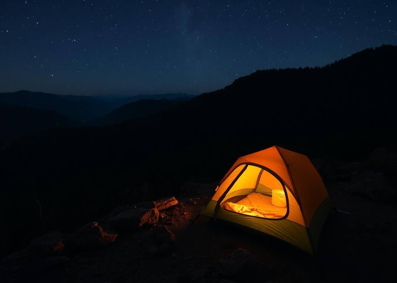
Dispersed camping is allowed throughout the loop. The best sites cluster along the Little Missouri River — flat, sandy, and close to filter-able water. Athens–Big Fork has fewer good sites; plan to push through to the river corridor on your first day.
- Camp 200 ft from any water source and any trail.
- Water is plentiful along the Little Missouri; scarce on the ridgetops of Athens–Big Fork.
- Hang food or use an Ursack — black bears are present.
Getting There
Trailheads and directions
Winding Stairs Trailhead
FR 25 · Little Missouri River
Our preferred start. Easy parking, immediate river access, and a gentle introduction before the terrain gets serious. Roughly 4 hours from Dallas–Fort Worth and 3 hours from Little Rock.
Coords: 34.3660° N, 93.9020° W
Athens–Big Fork Trailhead
Near Big Fork, AR
Start here if you want the eight-mountain climb while your legs are freshest. Smaller lot, gravel access road, and a more remote feel from mile one.

Prepare Honestly
Train before you show up
This is not a trail to test your fitness on. Build up to 10-mile training hikes with 25–35 lbs on your back before you go. Break in your boots. Test every piece of gear on an overnight closer to home.
We keep a full training-tested packing list based on running Eagle Rock Loop trips with real groups.
Eagle Rock Loop FAQ
Questions hikers actually ask
Join Us
Hike the Eagle Rock Loop with a brotherhood
Eagle Rock Rise is a free, no-strings-attached men's backpacking trip on the Eagle Rock Loop, November 10–12, 2026. Prepared beginners welcome.